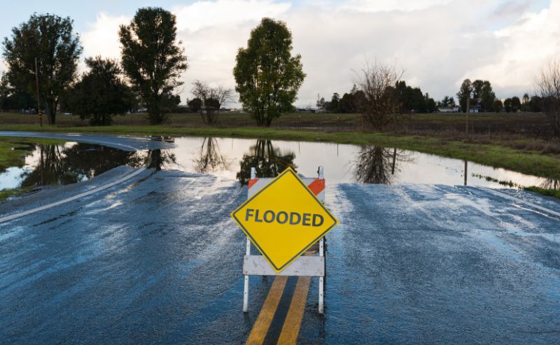
Earlier this year, the National Oceanic and Atmospheric Administration (NOAA) and its Climate Prediction Center, a division of the National Weather Service, projected a “near-normal” Atlantic Hurricane Season for 2023. Given recent tropical activity and abnormally warm ocean waters, the agency has updated its outlook to “above-normal” status. While it is not unusual for NOAA to change its prediction as the season goes on, it is still reason for concern for those who live or work in areas potentially at risk from tropical weather events. Preparedness, as always, is key to response and resilience.
An “above-normal” hurricane season means that rather than the possibility of 12 to 17 named storms, there may be 14 to 21 of them. Of those, 2-5 could become major hurricanes, i.e., winds of 111 mph or greater.
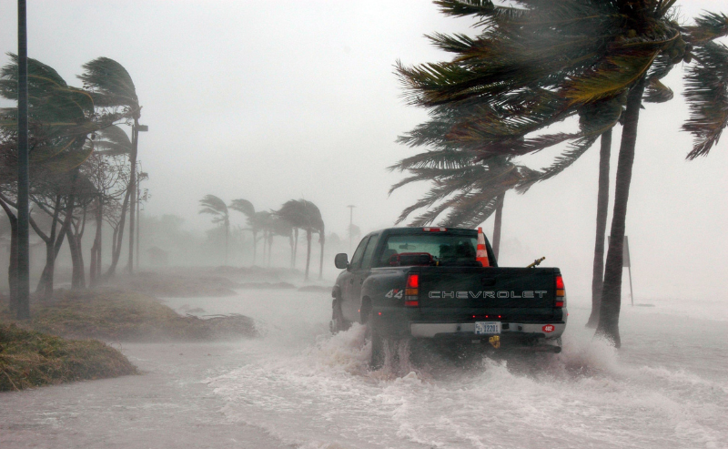
These updated ranges include storms that have already formed this season, including Hurricane Idalia, which recently battered parts of Florida with high wind, heavy rain, and record-breaking storm surge. Presently, Hurricane Lee is meandering through the Atlantic as a dangerous category 3 storm. Its long-term track remains uncertain, but the hurricane will likely cause dangerous surf and rip currents for Bermuda and the U.S. East Coast as it moves toward Nova Scotia, Canada.
Also churning in the Atlantic is Hurricane Margot, but she poses no risk to the U.S., along with a broad area of low pressure over the eastern tropical Atlantic. This system is expected to consolidate, with a low on the western side becoming dominant over the next day or two. Cyclone formation chance over the next seven days is high, per NOAA and the National Hurricane Center, at 70%. While it’s far too early to project its progression, rest assured all eyes are watching and waiting.
While the Atlantic hurricane season began months back in June, September is certainly no time for people to let their guard down. Accordingly, federal officials warn people who live in hurricane-prone areas not to focus too much on the total number of storms because just one storm can cause significant damage.
Who can forget Hurricane Ian in September 2022? NOAA describes it as the most costly hurricane in Florida’s history and the third-most expensive in U.S. history in terms of property damage. Weather experts classified 2005’s Hurricane Katrina as the most costly hurricane in U.S. history ($75 billion), with the storm laying waste to New Orleans, portions of the Mississippi and Alabama coasts, and parts of Miami-Dade and Broward counties in Florida. It made landfall as a catastrophic category 4 storm, dumped copious amounts of rain, spawned 33 tornadoes, and eventually claimed the lives of more than 1,800 people.
At BOLDplanning, a division of Agility, we urge those who live and work in hurricane-prone regions to remain diligent for the remainder of this year’s hurricane season. It officially ends on November 30th.
Stay aware of changing weather conditions, and as always, have a plan of action if you’re in a storm’s potential path. For homeowners, this means taking the necessary precautions to protect your property and yourself. For businesses and government entities, this means having comprehensive plans of action for response and recovery, including continuity of operations plans (COOPs), emergency operations plans (EOPs), comprehensive emergency management plans (CEMPs), and IT disaster recovery plans (ITDRs), among others.
Need help developing or testing such plans before the 2024 Atlantic hurricane season? BOLDplanning is the solution of choice for over 10,000 organizational preparedness plans nationwide. Let us give you the confidence and peace of mind knowing your community or organization is ready for future natural disasters and other emergencies. Call 615.469.5558 or email info@BOLDplanning for a no-obligation discussion of your planning needs.