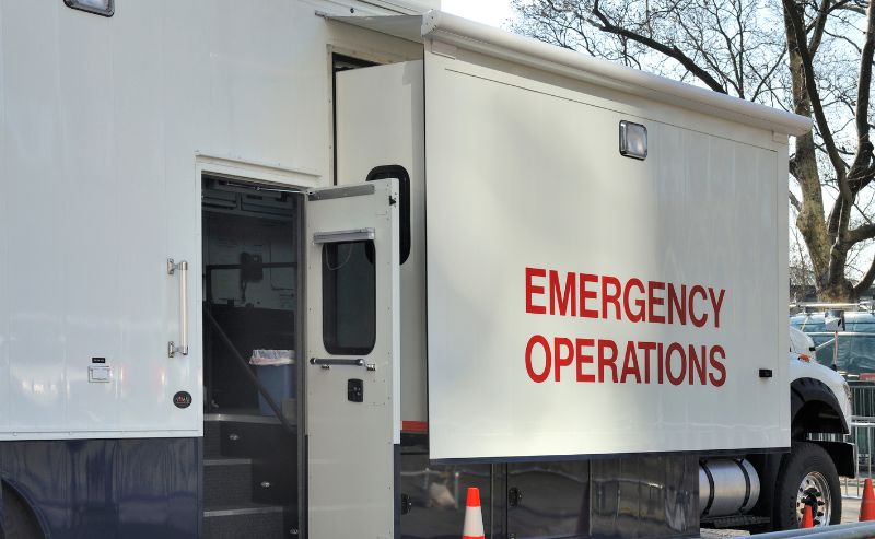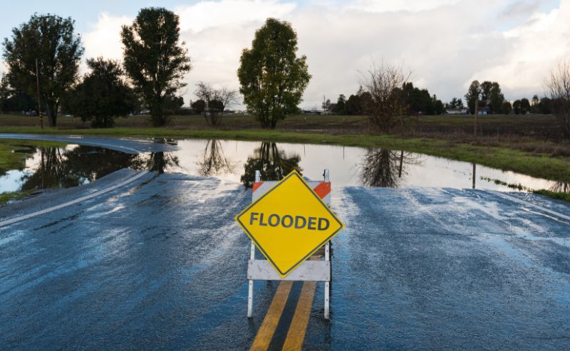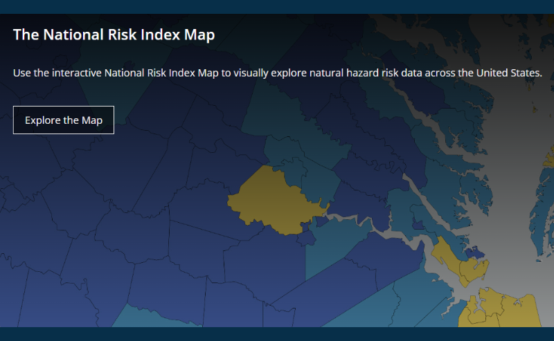
If you’re involved in hazard mitigation planning for your state, local, tribal, or territorial government, you may already be familiar with FEMA’s National Risk Index (NRI). But if not, it is a free and easy-to-use mapping tool that shows which communities are most at risk of 18 natural disasters. Specifically, it identifies the counties and census tracts with high natural hazard losses, high social vulnerability, and low community resilience, all of which are crucial to a plan’s development (or updating as required every five years).
FEMA recently revised the NRI, first made available in August 2021, to improve the user experience and prioritize support to communities most in need of assistance for resilience-related projects. These include developing (or updating) hazard mitigation plans or advancing resilience-building actions to reduce risk to life and property.
According to FEMA, the new version of the NRI includes:
- Updates to census tract geographies to reflect 2020 U.S. Census modifications, enhancements to land cover/land use data, and updated building and population equivalence values
- Migration of social vulnerability component to the Centers for Disease Control and Prevention’s Social Vulnerability Index
- Generation of expected annual loss data for U.S. territories
- Modification of how social vulnerability and community resilience values are applied to expected annual losses
- Hazard-specific methodology updates for coastal flooding, drought, earthquake, hurricane, landslide, tornado, and tsunami
- A clear and measurable percentile-based approach for scores
- Inclusion of precalculated expected annual loss rates with schema and data downloads
Download the National Risk Index or visit the National Risk Index Best Practices webpage to learn more about the planning tool and how it can benefit your community.
Additional updates to the NRI will soon follow as mandated by the Community Disaster Resilience Zones Act of 2022.