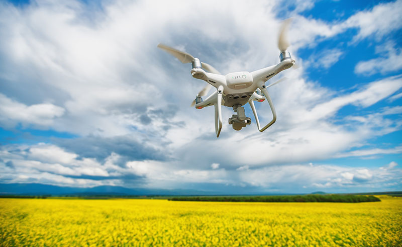
A recent article by Jim McKay in Emergency Management magazine describes how drones were used extensively in North Carolina’s response to Hurricane Florence.
According to the article, the North Carolina Department of Transportation deployed 15 drone teams to monitor conditions as Hurricane Florence began taking a direct path towards the state. The teams conducted over 200 missions and captured more than 8000 photographs and videos that ultimately assisted officials in decision making.
While better operational intelligence was a key advantage, it may not have been the greatest benefit of drone usage. Perhaps an even greater benefit was the fact that images and videos were used extensively to warn the public and illustrate just how dangerous the storm had become, convincing them to stay out of harm’s way.
“The public information aspect of it was a revelation,” said James Pearce, DOT communications officer. “We are able to explain to people, ‘This is why there are new road closures days into the storm.’ I could take the pictures and immediately have them on social media and they would get picked up by the media. People understood that we weren’t just closing roads because we felt like it; there was real danger.”
Thinking of adding drones to your emergency management toolbox?
Will Minkoff has a few suggestions. In addition to serving as BOLDplanning’s Training Manager, Will is also a Partner in Nashville Severe Weather, a community-funded weather company that concentrates its alert and educational focus around Davidson and Williamson counties in Tennessee.
He is also an avid drone pilot with an interest in deploying drones for weather data collection. Here are a few tips from Will:
Have a plan. Develop strategies, tactics, personnel, etc. before the need arises. Define the geographic area you want to view and the kind of information you want to capture. Also consider the type of media you anticipate capturing. Video? Still images? Live streaming? Each type requires a slightly different plan.
Train your staff. While the technology is very approachable, there are still procedures and best practices operators should follow. Train team members on how to capture the best images under a variety of conditions, understanding environmental limits (where drone use is and is not viable), etc.
Be familiar with both the technology and the law. Generally, drone flight is controlled by the Federal Aviation Administration (FAA). As such, certain operational limits have been mandated (height, distance, in a vehicle vs. stationary, etc.). These restrictions are often tied to the type of license the operator holds, so know how federal laws and technologies relate. Also understand what enhancements can be made to drones (e.g., forward-looking infrared cameras, zoom cameras, and other options) and what specific permits may be required.
Coordinate for information sharing. If your team is considering adding drones, chances are, another nearby agency or department is doing the same. Don’t duplicate efforts. Additionally, similar to the communications gap that existed in interoperable radios just a few years ago, there is a current gap in interoperability around drone programs. Seek to coordinate operations and information where possible.
Get started. While there are factors to consider, it is not as difficult launch a drone program as some people think. The technology is improving constantly, and there are multiple drone options on the market that are affordable (under $3000). Even a relatively inexpensive consumer drone can be a game-changer for weather information, search and rescue, fire suppression, etc. To gain knowledge and support quickly, join local or regional clubs that are interested in the technology. These serious hobbyists are typically eager to help, and they can serve as a great resource to get you started.