This week has been a wild one as far as the weather goes. Colorado’s 416 fire has already scorched over 32,000 acres in and around the San Juan National Forest. And as of this posting, the blaze is only 18 percent contained. “Weather conditions remain critical and fuels are ideal for significant growth,” say officials. Winds are gusting up to 40 mph and the chances for rain this weekend are slim. Plus, the fire is burning in very rough and inaccessible terrain, which is making it extremely difficult, if not near impossible to control. Several homes throughout the area remain evacuated; structure protection measures are in place; and many residents are preparing to evacuate if necessary.
Meanwhile, people in Wilkes-Barre Township in eastern Pennsylvania are continuing to dig out after a dangerous tornado touched down on Wednesday evening. Many homes and businesses were damaged or destroyed by the twister. Thankfully, and most likely due to advanced warning, no fatalities were reported.
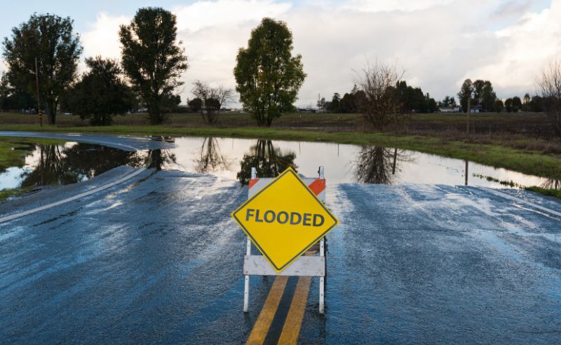
Then there’s Tropical Storm Bud. Downgraded from a Category 4 hurricane, the storm will/is impacting the Southwest tip of the US and Northwest Mexico. High winds and surf, along with heavy rain, are expected to hit most of California Big Sur and areas close by today and over the weekend. Schools through the region are even closed in preparation of the impending storm.
Topping this off this week, the National Oceanic and Atmospheric Administration (NOAA) just issued an El Niño Watch. This means conditions are favorable for the development of El Niño conditions within the next six months. And that can cause a wetter than average winter across southern portions of the country.
Even though it’s too soon to tell when and if this pattern will develop, or how strong it could be, it’s a good idea to plan ahead. Snow and ice can wreak havoc in the Deep South. And it only takes a little to bring cities like Atlanta, Birmingham and Nashville (home to BOLDplanning) to a screeching halt.
As the forerunner in emergency and continuity planning, BOLDplanning understands the significance of advance preparation of extreme weather and other critical events. We welcome the opportunity to help your public or private sector organization improve its readiness, response and recovery capabilities in advance of the next storm. Call us today at 615.469.5558 or send us an email at info@BOLDplanning.com to learn more. And, as always, keep an eye to the sky!